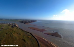
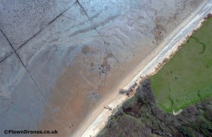
With the UK coast line changing literally over night, up to date aerial images for surveying and measuring coast line erosion, channel and sand-bank movements, can now be made for a fraction of the previous costs of full size aviation.
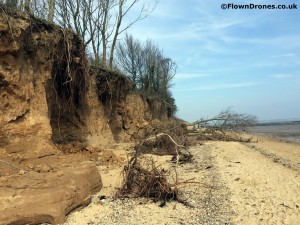
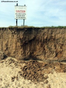
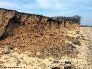
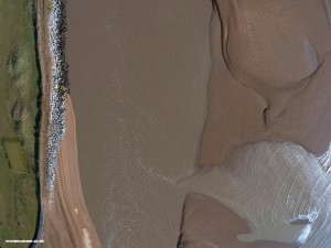
The above image shows the aerial photograph at 400ft, taken on the same day, of the erosion show in the first 3 images.
We are able to offer aerial coastal erosion images to local councils or land owners, quickly and at low cost.